About the Water Trail
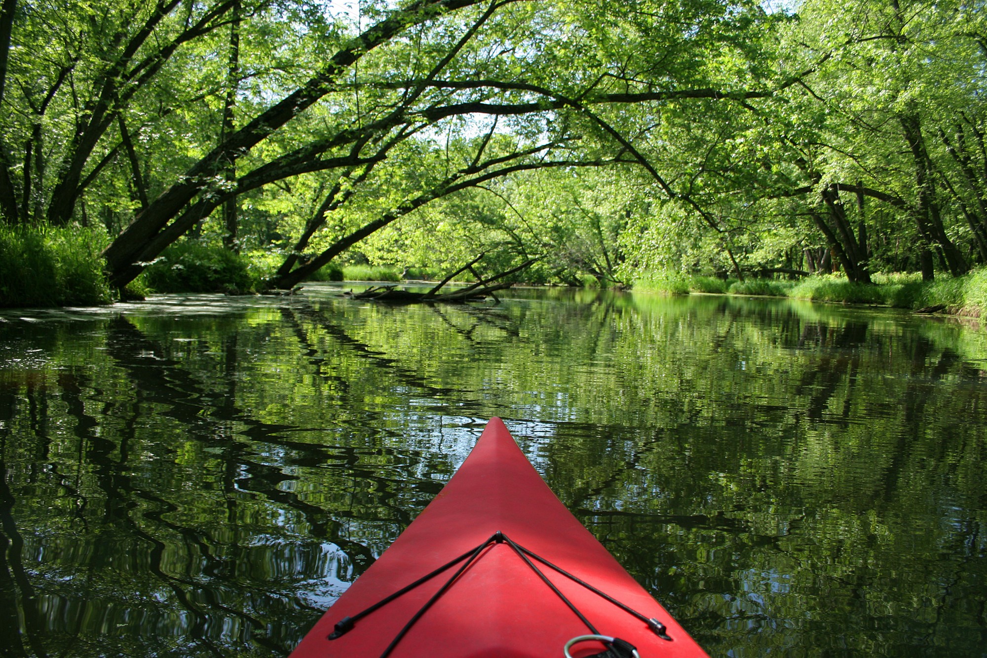
The Northeast Indiana Water Trails has over 566 miles of flowing water running through 10 counties; 25 villages, towns, and cities, and 34 public parks and nature preserves on 14 different waterways in three different watersheds. The Water Trails in NE Indiana flow through a myriad of landscapes, with flat land shaped by the last glaciation and rolling hills where the glaciers paused before moving on. The rivers and creeks are as diverse as the landscape with cold water and warm water fisheries, fast moving currents after a rain event to the even flow of the St. Joseph River, and crystal clear waters like seen on the Fawn River and the brown waters of the clay bottom Maumee. Take a moment to appreciate the diversity of NE Indiana and the NEI Water Trails.
Skills Needed
The NEI Water Trails are typically accessible to everyone, even the novice, due to the flat stretches of water available on our fairly slow moving waters in NE Indiana. Our rivers and creeks can be rated as a Class A (waterway with no perceptible movement) to a Class II (Moderate. Medium-quick water; Best handled by intermediates who can maneuver watercraft) after a heavy rain. However, in general, our waterways can be ranked as a Class I (Easy. Smooth water. The most difficult problems might arise when paddling around bridges and other obvious obstructions) and are typically accessible to anyone. Always be aware of snags, large rocks, and shallow areas as you traverse the Water Trails.
Scenic Rivers
There are only three rivers in Indiana given the Scenic River designation by the State and one is located in NE Indiana. The Cedar Creek was included in the Indiana Natural, Scenic, and Recreational River system from Co. Line Road at river mile 13.7 to the confluence with the St. Joseph River in 1975. It is virtually untouched which allows it to have prime riparian habitat for wildlife and birds, but it also gets blocked with log jams. While it is a beautiful paddle, your best bet is to access it from the St. Joseph and paddle upstream to the log jam around Co. Line Road and float back to the put in. However, due to it being a natural and virtually untouched area, the creek changes constantly as new logs fall, or old ones get swept down stream. Be prepared for the potential changes when paddling the beautiful Cedar Creek.
The Maumee River, east of the State line is also designated a Recreational River by the State of Ohio. It is a beautiful paddle traveling through farm land, rural communities, and small towns and cities. The Maumee River gets much wider and offers a more technical paddle past Defiance Ohio. We recommend you check out the Maumee River Water Trail website.
Fishing
You will find an assortment of fish in all the NE Indiana rivers including Crappie, Smallmouth Bass, Catfish, and even Walleye! Learn more here.
Portages
Paddlers may have to portage around fallen logs, snags, or jams on occasion, especially in the smaller waterways like Cedar Creek and Little River. However, on the NE Indiana Water Trails there are three (3) dams, thirteen (13) intact low head dams, two (2) partial low head dams, and three (3) which have been removed, though remnants of the dams may be present and pose a potential risk in which you may need to portage around. NEVER attempt to go over a low head dam…they are called “Killing Machines” for a reason. Always portage if possible, if a portage is not possible then turn your boat around. The IN Department of Natural Resources is continuously working to update their Low Head Dam map which can be found here. We also try to keep our map as up to date as possible though it is always a good idea to check the DNR map prior to traversing any new waterway.